Listen and map
Define sensitive areas, actors, existing information, and priority decisions with local stakeholders.
01 · PROJET PROPOSÉ
Understandable territorial information to anticipate risk, coordinate prevention, and make better decisions before an emergency.
Découvrir le pilote ↓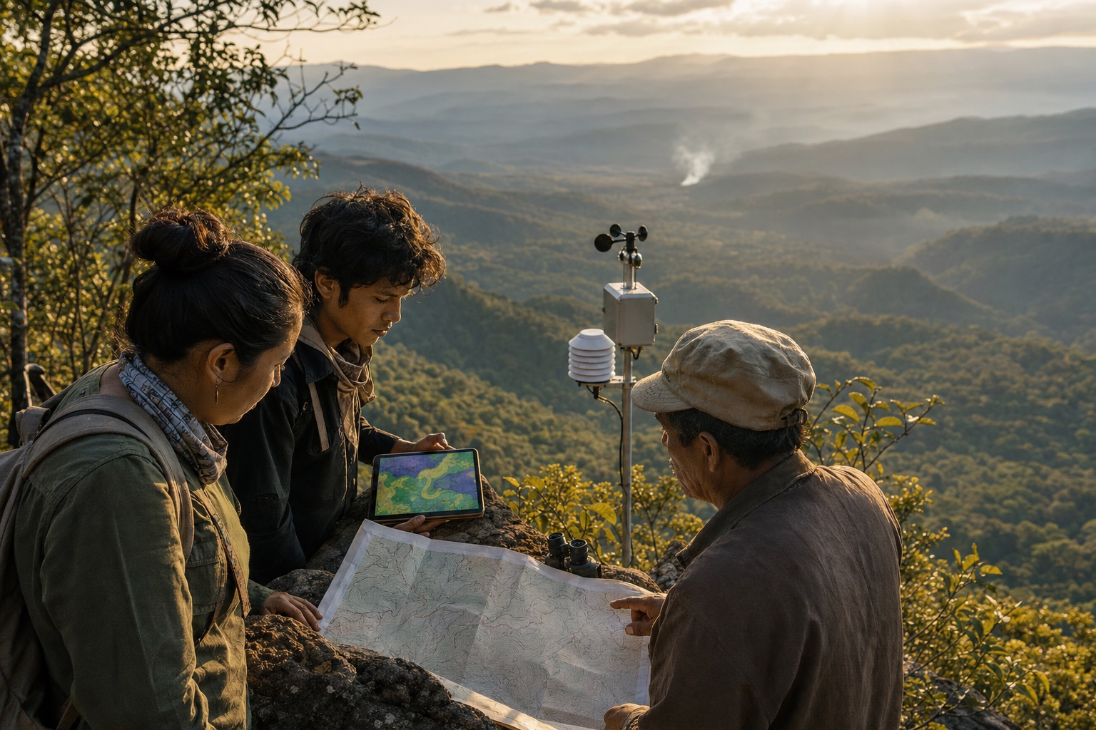
LE DÉFI
The proposal adapts lessons from mapping and territorial monitoring into an accessible model built with communities, forestry specialists, and authorities. Technology would support decisions; local knowledge, clear protocols, and the capacity to act would remain central.
PROPOSED PILOT
Define sensitive areas, actors, existing information, and priority decisions with local stakeholders.
Combine local observation, geospatial data, and simple communication in a bounded pilot.
Evaluate how information is used, refine protocols, and strengthen prevention capability.
EXPECTED OUTCOMES
Locally validated, understandable risk maps.
Roles and communication paths defined before an alert.
People prepared to observe, interpret, and share information.
Documented lessons that improve the model without premature scaling claims.
PARTNERSHIPS NEEDED
G.A.I.A. FOUNDATION · IN FORMATION
We welcome expressions of interest and collaboration proposals. The Foundation does not yet accept donations in its own name.
Express interest ↗